Tour of the McMurdo Dry Valleys, Antarctica
|
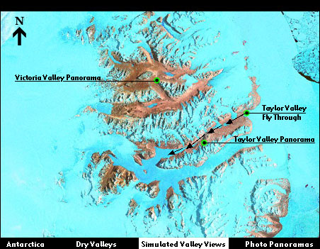
About this map The map accesses 360° panoramas of Victoria and Taylor Valleys and a simulated flight through Taylor Valley. All three scenes were created by using ArcView 3-D Analyst™ to create a three dimensional model from a Digital Elevation Model (DEM) of the Dry Valleys. The appearance of ice, water, and rock was created by draping a false color satellite image over the model. Digital elevation model provided by Cheryl Hallam (U.S.Geological Survey - National Mapping Division). The satellite image is a Landsat 6 image provided by Jean-Claude Thomas (U.S.Geological Survey - National Mapping Division). To view one of the scenes click on one of the green dots on the map.
|