The Geometry and Hydraulics of Englacial Conduits, Storglaciären, northern Sweden
Master's Thesis work of Sara E. Frödin
Department of Geology - Portland State University - Portland, Oregon
Background
Englacial conduits are the primary structure responsible for transporting surface water to the base of a glacier, where it supplies the subglacial hydraulic system and, in turn affects glacier movement. Despite the well-known theoretical descriptions of englacial conduits, little direct evidence exists about their geometry and hydraulics. In July 2001, a field effort was initiated at Storglaciären, northern Sweden, to intersect englacial conduits by drilling into the glacier using a hot water drill. A submersible camera was used to image the conduits and measure the physical properties of the features. By attaching a compass and a ruler to the camera housing a sense of direction and size of the opening was attained. A companion project led by Prof. Robert W. Jacobel, St. Olaf College, Northfield, MN, attempted to detect the englacial conduits using ground-penetrating radar.
Study site
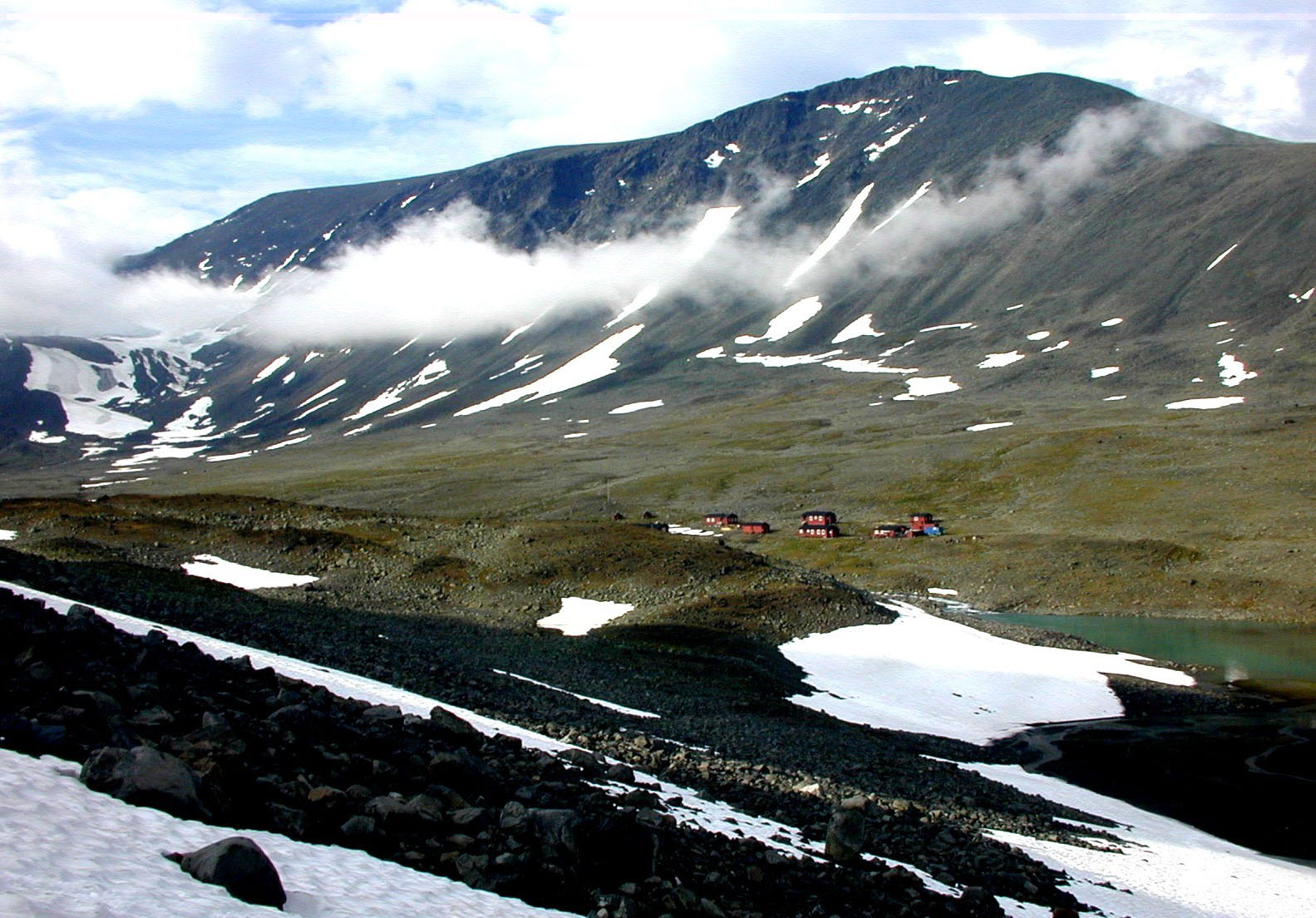
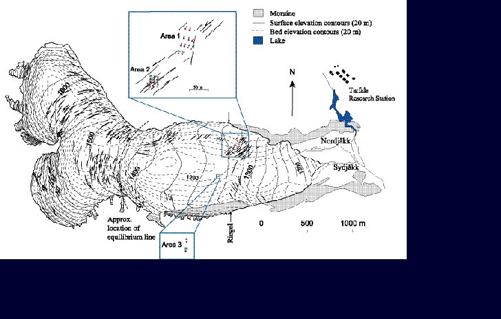
The study site for this field investigation is Storglaciären (67° 54`N, 18° 35`E) in northern Sweden, located in Tarfala Valley (fig.1). Storglaciären (fig. 2), situated in Tarfala valley, provide a perfect ground for research study because of the extensive background of hydrological work on the glacier, and great infrastructure and facilities at Tarfala research station. Storglaciären was selected for a long-term study on climatic impact on glaciers in 1945 and an annual mass balance programme was initiated.
Figure 1. Tarfala valley where Tarfala Research Station is situated (1130 m.a.s.l.).
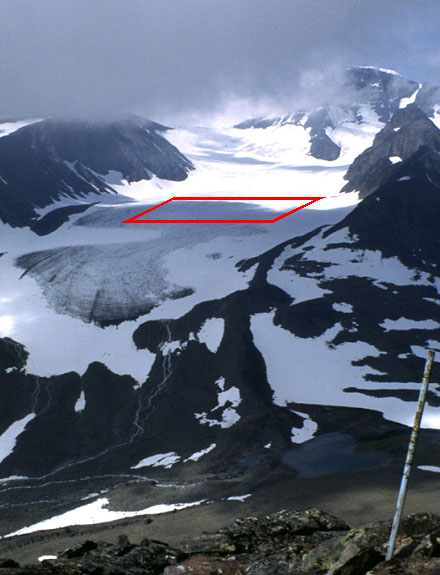
Figure 2. Photo of Storglaciären with marked study area, July 2001.
Method
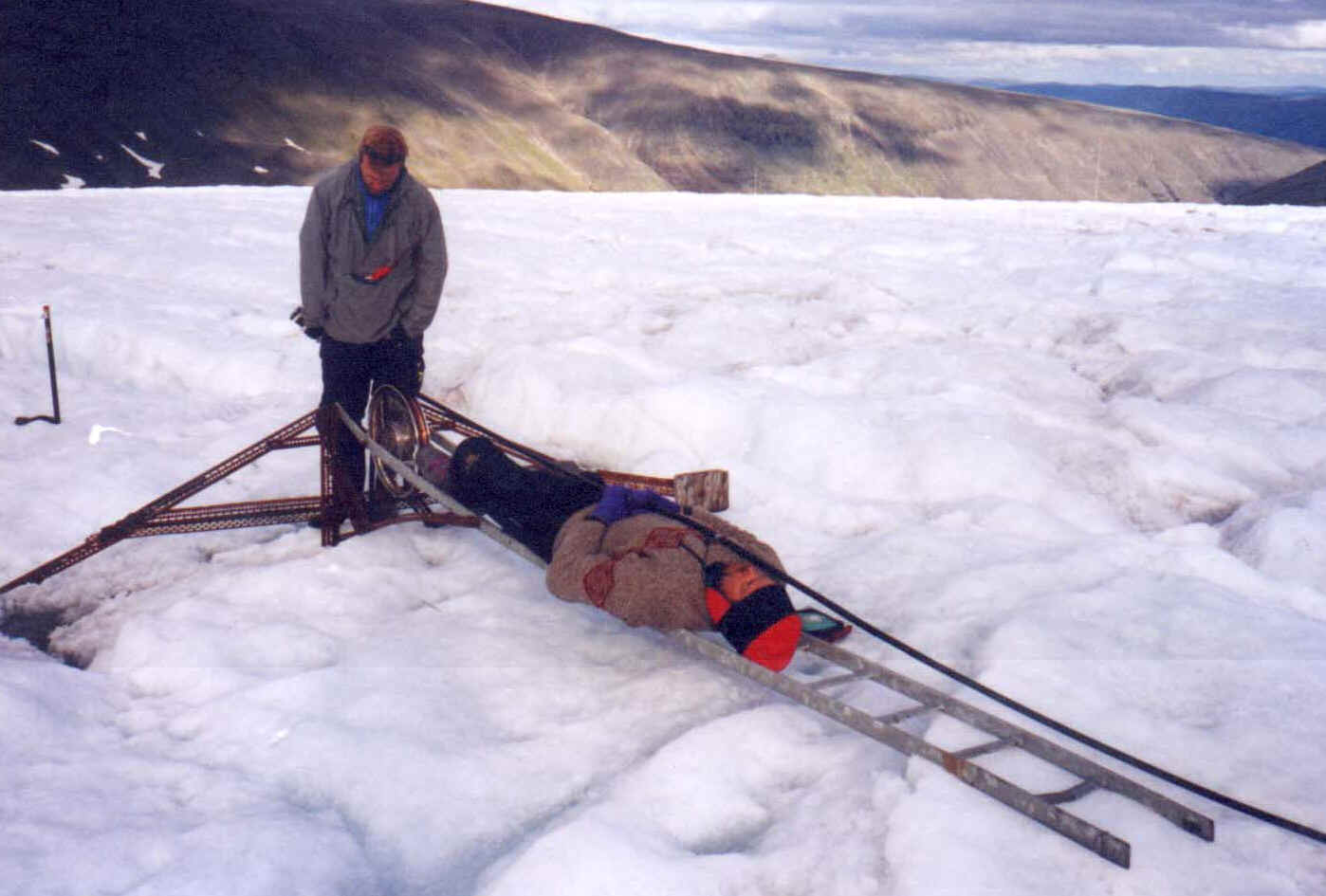
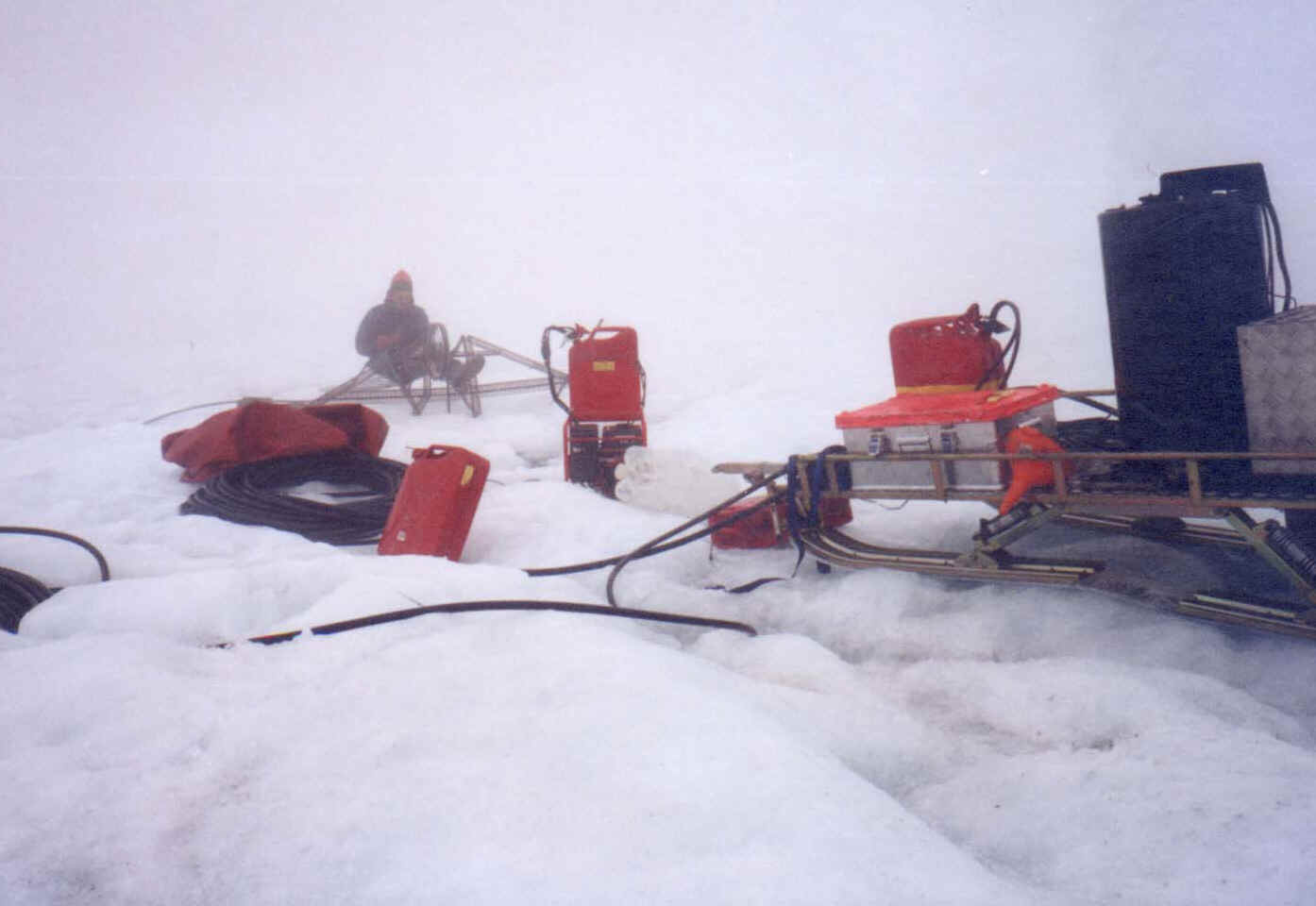
Hot Water Drilling
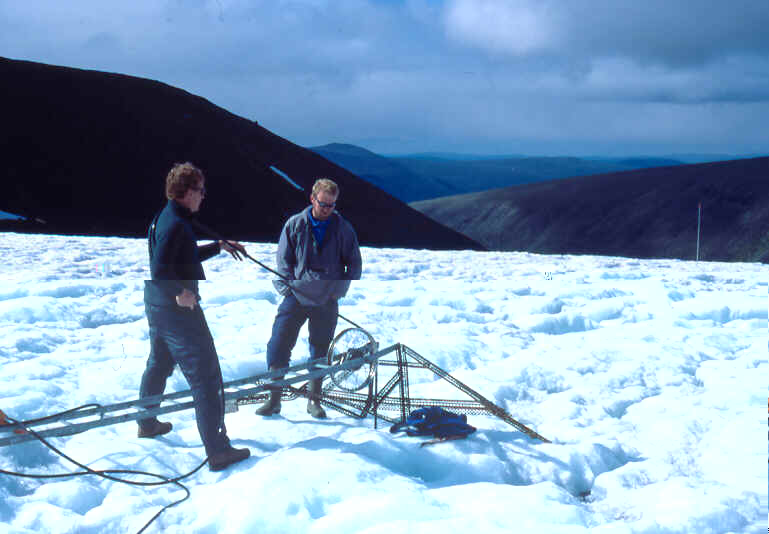
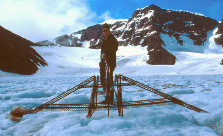
By using a hot water drill (fig. 3-6) the ice is penetrated at a rate of ~ 1 m/min. During drilling water level and drill depth is monitored. A drop in water level at any time prior to reaching the bed suggests a hydraulic connection, and if the water level remains low the connection is presumably an englacial conduit.
Fig. 3-6 Drilling scenes from Storglacären, July 2002.